Howdy from Salt Lake City. Although I'm technically driving US 40, the route was decommissioned west of Park City, Utah a number of years ago, so I spent all day on I-80, its Business Routes and obvious urban predecessors.
The first of these predecessor roads was Donner Pass Road through the Sierras. Still used for access to a half-dozen ski areas, this incarnation of US 40 swoops up and down the mountain near Donner Lake. A historic marker points to the route of the original railroad across the Sierras, where in 1867, 12,000 Chinese laborers constructed a solid wall halfway up the mountain to keep the train level. That supporting wall is still in use today. Stopped at the museum on the site of the ill-fated Donner Party's winter encampment of 1845-46, which ended with half the party dead and many of the others surviving on the flesh of their deceased comrades.
The Donner Party was stranded on the east side of the Sierras by early snows, which hit in late October 1845. They had taken more than two months to cross Nevada and the Great Salt Lake by wagon train. I drove their route, in reverse, in less than 12 hours. No need for cannibalism, either, though I did endure one 70-mile stretch with no services...
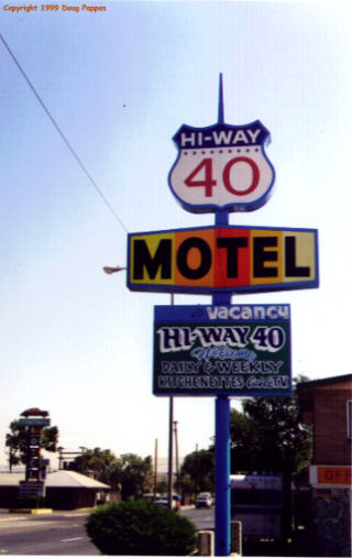
Cruised through downtown Reno, then resisted the temptation to see if Sierra Sid's Truck Stop in Sparks still displayed "The Guns of Elvis," purchased from his late father. Lovelock has what's supposed to be one of only two round courthouses in the country, as well as the wide streets typical of Western towns and a surprising number of old motels.
 Across much
of Nevada, I-80 was built adjacent to old Route 40, with the old
roadbed visible to one side or the other. 80, 40, the railroad,
and the pioneers'
California Trail all follow the Humboldt River follow across
northern Nevada. They continue on, but the river never exits:
like all other water flowing into central Nevada, it collects and
eventually evaporates in the Great Basin.
Across much
of Nevada, I-80 was built adjacent to old Route 40, with the old
roadbed visible to one side or the other. 80, 40, the railroad,
and the pioneers'
California Trail all follow the Humboldt River follow across
northern Nevada. They continue on, but the river never exits:
like all other water flowing into central Nevada, it collects and
eventually evaporates in the Great Basin.The towns of northern Nevada are conveniently spaced about an hour apart: Lovelock, Winnemucca, Battle Mountain, Elko, Wells, Wendover. In between is desert, so uninhabitable that the tracks of a single off-road vehicle can remain visible for years.
In 1953 George R. Stewart published a book on US 40, illustrated by scores of photos taken along the way. Thirty years later Thomas and Geraldine Vale, geography professors at the Univ. of Wisconsin, updated Stewart's book with new photos from the same locations. Most of the desert views looked exactly the same, except where the road had been realigned in the interim.
Those searching for the border between Good and Evil need look no further than the sister towns of Wendover, Utah and West Wendover, Nevada. The Utah side is a sedate town of one- and two-story buildings; the Nevada side, an ever-growing collection of casinos. A hill overlooking Wendover from the west provides one of the nation's most spectacular views: the two towns laid out below, followed by the endless white expanse of the Great Salt Lake Desert receding into the distance as far as the eye can see.
That desert's a lot less fun to drive across, though. Once past Wendover, there's one gas station, and maybe two turns, along 95 miles of the Interstate. The Bonneville Salt Flats, home to numerous auto time trials, sit a few miles north of the Interstate, though even a sprinkling of rain renders the Flats unusable for days thereafter.
Tomorrow it's up into the mountains of Utah and Colorado, then down through Denver. Later...
Go to the next day
Back to NEWS FROM THE ROAD menu
Back to ROADSIDEPHOTOS.COM home page