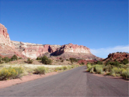
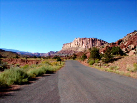
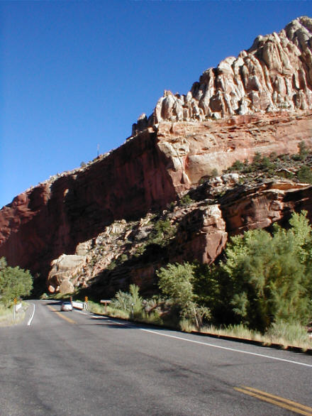
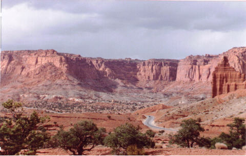
Colorful sandstone cliffs line the road through the Capitol Reef area.
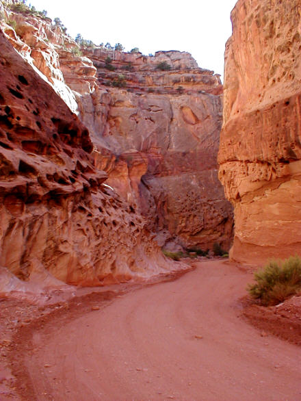
Although a gravel road leads into some of the formations (25 miles round trip), and a 70-mile (one way) dirt road leads deep into the southern Utah wilderness, this is predominantly a hikers' park.
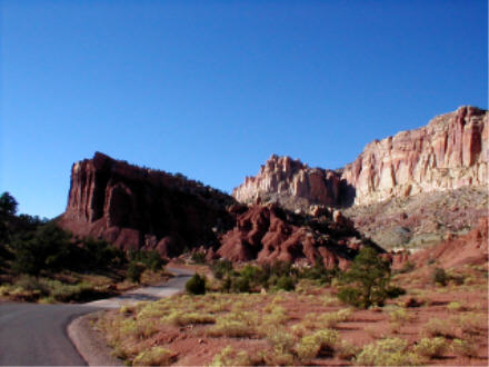
Casual visitors will be satisfied with the sights along SR 24 through the park: as this road is the most direct route between Bryce Canyon and Arches National Parks, Capitol Reef makes a convenient stop.
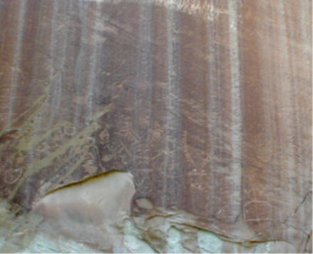
In addition to panoramic views from well-marked overlooks, this area includes Indian petroglyphs, the one-room schoolhouse and still-fertile orchards from the old Mormon settlement of Fruita, and several easy day-hiking trails.
FOR MORE INFORMATION:
NPS site: http://www.nps.gov/care/
Rod Adkison, 50 Best Short Hikes in Utah's National Parks: Zion, Bryce, Capitol Reef, Arches, Canyonlands (2d ed. 2001)
Ron Adkison, Utah's National Parks: Hiking, Camping and Vacationing in Utah's Canyon Country: Zion, Bryce, Capitol Reef, Arches, Canyonlands (2d ed. 2001)
Tony Huegel, Utah Byways: 65 Backcountry Drives for the Whole Family, including Moab, Canyonlands, Arches, Capitol Reef, San Rafael Swell and Glen Canyon (2d ed. 2000)
W.C. McRae, Moon Handbooks: Zion and Bryce: Including Arches, Canyonlands, Capitol Reef, and Escalante (2002)
To ROADSIDEPHOTOS.COM home page